[ad_1]

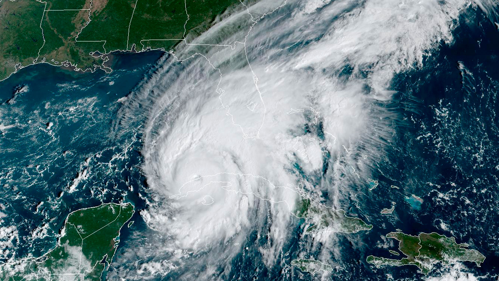
Hurricane Ian’s center has emerged into the southeastern Gulf of Mexico late Tuesday morning, according to the 11 a.m. ET advisory from the National Hurricane Center.
Ian’s winds have decreased only slightly, down to 115 mph, as a result of the trip across western Cuba, which keeps the storm as a Category 3. Ian is expected to strengthen again later today and become a Category 4 before the end of the day.
The expected track for Ian has shifted around 25 miles south in the newest advisory, with landfall expected to occur north of Venice, Florida, around 6 to 12 hours earlier than previously anticipated. Ian is still expected to be a major hurricane when it makes landfall on Wednesday evening around 8 p.m. local time.
“On the forecast track, the center of Ian is expected to move over the southeastern Gulf of Mexico in a couple of hours, pass west of the Florida Keys later today, and approach the west coast of Florida within the hurricane warning area on Wednesday and Wednesday night,” the center said.
This also shifts the expected highest surge, with the highest surge expected to be 8 to 12 feet, occurring south of Tampa Bay and north of Bonita Beach, including Charlotte Harbor and the cities of Port Charlotte and Punta Gorda. Storm surge in and around Tampa Bay, including St. Petersburg and Clearwater, is still expected to be 5 to 8 feet.
“Ian is forecast to approach the west coast of Florida as an extremely dangerous major hurricane,” the center said.
Ian is moving north at 10 mph, and “a turn toward the north-northeast with a reduction in forward speed is forecast tonight and Wednesday,” it said.
“This is a life-threatening situation,” it emphasized.
“Persons located within these areas should take all necessary actions to protect life and property from rising water and the potential for other dangerous conditions. Promptly follow evacuation and other instructions from local officials,” according to the advisory.
[ad_2]