[ad_1]

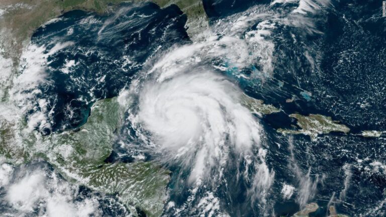
As Florida prepares for Hurricane Ian’s menacing approach here is what you should know about the forecast and potential impact on the state.
On rainfall: Ian is expected to dump at least 2 to 3 months’ worth of rainfall by Friday. Totals are expected to be 12 to 16 inches with maximums up to 24” in Tampa and West Central Florida. The average month of September brings about 6 inches of rain.
On people: More than 8 million people reside in the Hurricane Warning zone in West and Central Florida, meaning they are subject to hurricane-force winds of 74 mph or greater
Nearly 7 million people reside along the coast between Fort Myers and Clearwater, including all of Tampa Bay area are also under a storm surge warning, indicating a life-threatening storm surge of 5 to 10 feet is possible
On storm surge: Even the low range of storm surge currently forecast for Tampa/St. Pete/Clearwater would represent the highest water levels ever recorded. It could double their highest. 5 to 10 feet is the expected surge in Tampa Bay, St. Petersburg and Clearwater. The highest sea levels ever recorded reached around 4 feet high in Hurricane Elena in 1985 and the March 1993 “Storm of the Century.”
On rapid intensification: Hurricane Ian’s rapid intensification has continued on Tuesday. Ian was a 45 mph tropical storm on Sunday afternoon, but is currently a 125 mph Category 3 major hurricane. Rapid intensification is considered an increase of at least 35 mph in 24 hours, Ian has far exceeded that, increasing by at least 55 mph in a 24 hour period between Sunday afternoon and Monday afternoon.
Some history: The last major hurricane to make landfall in the US was Hurricane Ida (Category 4) in 2021 in Louisiana. The last major hurricane to make landfall in Florida was Hurricane Michael in 2018 (Category 5).
[ad_2]