[ad_1]

The funny thing about volcanic eruptions is that people (broadly speaking) pay attention when (1) a volcano that hasn’t erupted recently erupts; (2) a volcano near people erupts and (3) a new eruption begins where a famous previous eruption occurred. The media descends and you can find volcanologists (like me!) being interviewed about the ramifications of this, that and the other volcanic thing.
That’s great (at first), because awareness of the volcanic activity on Earth means that people may be less prone to think every eruption means global doom and that maybe they will decide to be prepared if they live near a volcano.
Case in point: Iceland. The eruptions near Grindavík over the last six months have continued to threaten the town, the Blue Lagoon and the geothermal plant on the Reykjanes Peninsula. However, with each new salvo, the attention it gets from the global media goes down. “It’s just another eruption in Iceland” seems to be the attitude.
What’s Up (and Not Up) Right Now?
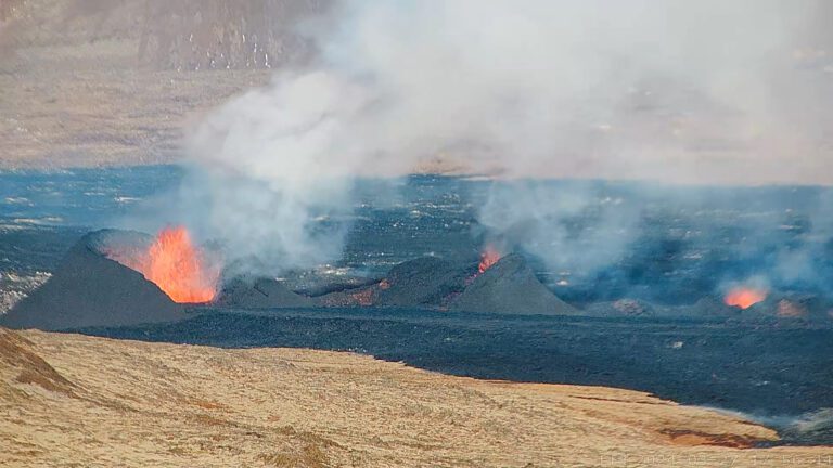
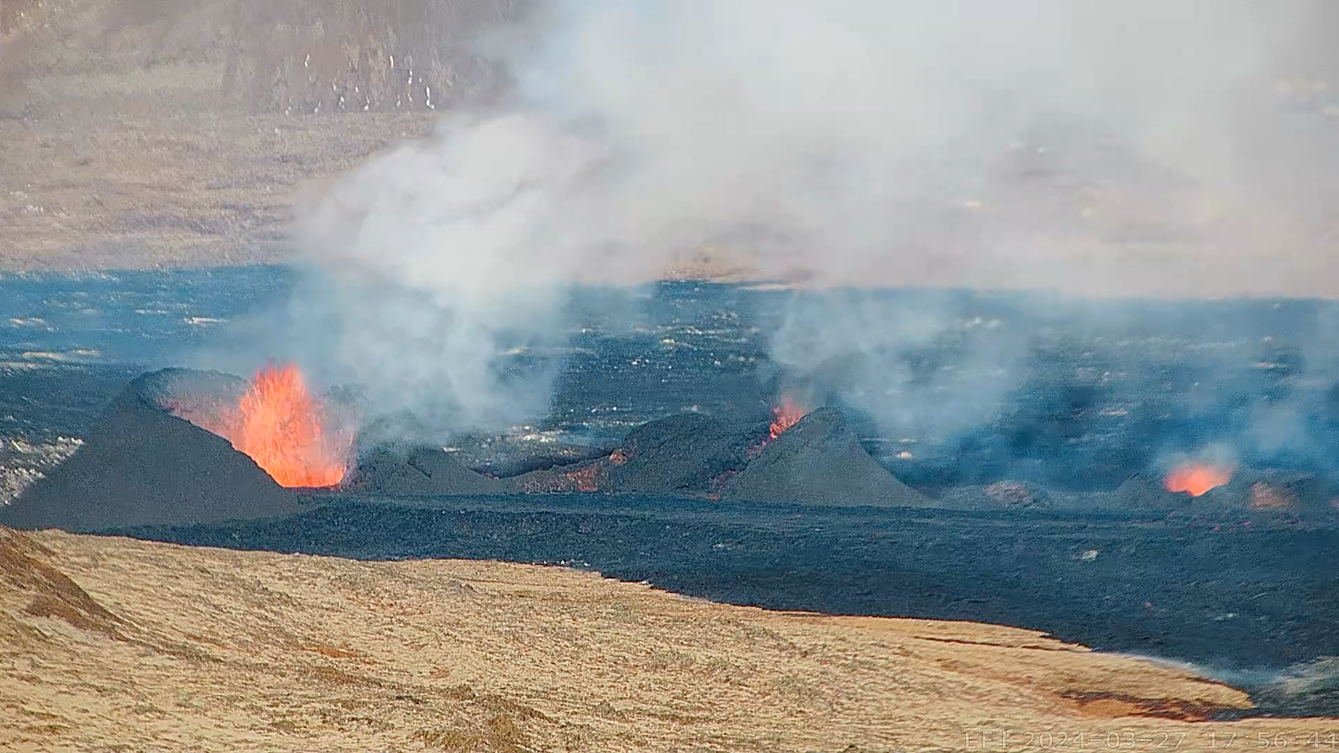
The latest eruption near Grindavík started on March 16 and if it was like the previous ones, we should have expected a few days of eruption that created lava fountaining, some lava flows and then a slow petering out of the activity. Yet, here we are, ~10 days later and this is what it looks like right now:
The cone formed during the current Sundhnúksgíga eruption near Grindavík in Iceland seen on March 27, 2024. Credit: MBL.is webcam still.
That’s … different! Instead of the same pattern of inflation on the land surface, a new (and brief) eruption and repeat, this eruption north of the city has been going strong for days. What’s changed?
Maybe not much. The Icelandic Meteorological Office reports that the rates of lava coming out of the ground at Sundhnúksgíga aren’t too different than past eruptions in the area. However, what has changed is that magma rising up into the crust does not appear to be stalling on the way to the surface. The IMO has noted that there is little to no earthquake activity in the dike or its vicinity and uplift in the area around Svartsengi has been very slight since the eruption began on March 16.
To paraphrase the IMO’s assessment, this suggests that less magma is accumulating and is instead “flowing more directly out of the reservoir through the eruptive fissures”. This means we are getting a constant flow of liquid rock from its sources tens of kilometers down to the surface.
Why it has changed is a more difficult to pinpoint. Maybe the conduits that bring magma to the surface have become “primed” by previous eruptions so there are no longer impediments to it making a straight shot. Maybe the feature that the magma is using to reach the surface offers less resistance to eruption. Maybe none of these things.
The line of eruptive vents along the fissure at Sundhnúksgíga that formed starting March 16, 2024. This photo was taken on March 20, 2024. Credit: IMO.
Now, instead of a fissure erupting lava flows we have a series of cones (above) that are building as the lava spurts out of the ground like a hose. The debris from this spattering piles up around the vent to make what could eventually become cinder cone that line up along what was the fissure. If you look at a topographic map of the Reykjanes Peninsula, you can find lots of examples of these clusters related to eruptions just like these in the past.
New Eruption by the Numbers
Mapping of the current activity has lava flows as thick as 16 meters (50 feet) near the vents at Sundhnúkar. Since this eruption started on March 16, the IMO estimates the eruption rate at ~14.5 cubic meters (~500 cubic feet) per second — a rate that is right in line with other eruptions in this sequence and earlier eruptions at Fagradalsfjall since 2021. This new eruption has dumped over 20 million cubic meters (700 million cubic feet) of basaltic lava onto the surface … that’s roughly 350 large oil tanker ships!
The hazard for people around Grindavík hasn’t changed that much. The lava flows could destroy homes and infrastructure. However, Iceland has build lava flow levees to help divert the flows from the city as best as they can (sometimes using the new lava itself to build the levees!) Maps of the lava flows from March 20-26 show how they have mostly been diverted by the walls and levees built to the north and west of Grindavík.
Lava flow map of the current activity near Grindavík in Iceland showing the thickness of lava measured on March 20, 2024. Credit: IMO.
However, with the constant eruption of sulfur-rich basaltic lava from these vents, the volcanic gas hazard has increased. Sulfur and water make sulfuric acid, so when the fumes from the eruption blow into a populated area, breathing can become … unpleasant. It can be downright hazardous to people with respiratory conditions. The IMO maps where the volcanic gases are headed based on the weather to give people a “heads up” for potential volcanic fog (vog) or other breathing hazards.
It is important to remember that an eruption might has drifted from the headlines, but as activity like this continues, people’s lives are still highly disrupted. The eruption so far has not damaged much of Grindavík, but the volcanic gases and constant threat of new activity has likely made life a challenge. It is easy to think of volcanic disasters as points in time, but eruptions like these are better thought of as marathons, not sprints.
[ad_2]